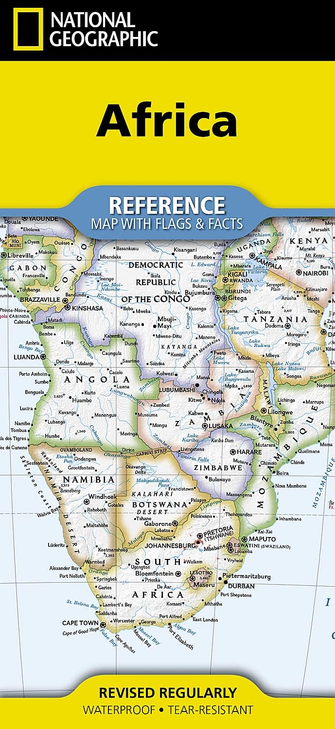
National Geographic Africa Map (folded with flags and facts)
Desertcart purchases this item on your behalf and handles shipping, customs, and support to South Africa.
Description
• Waterproof • Tear-Resistant • Reference Map Expertly researched and designed, National Geographic's Africa Flags & Facts Map is the authoritative map of Africa by which other reference maps are measured. The map side includes a political map showing countries, cities and other landmarks and a physical map shows the landforms such as mountain ranges and rivers. Clearly defined boundaries, major cities, and physical features Hundreds of place names carefully placed to maintain legibility in heavily populated areas Includes Africa and adjacent regions within Europe and Asia Detailed physical map of Africa with mountain ranges, plains, lakes, and rivers Flags and facts with detailed information about cultural and physical attributes Printed in the U.S.A. on extremely durable, waterproof, and tear-resistant material This Reference Map is printed on durable synthetic paper, making it waterproof, tear-resistant and tough — capable of withstanding the rigors of any kind of use in the home or classroom. Sheet Size = 18.5" x 25.25" Folded Size = 4.25" x 9.25"
Specifications
| Best Sellers Rank | #236,433 in Books ( See Top 100 in Books ) #121 in General Africa Travel Books #303 in Geography (Books) #843 in Atlases & Maps (Books) |
| Customer Reviews | 4.6 out of 5 stars 51 Reviews |
Common Questions
Trustpilot